Co-creation session Amsterdam, Utrecht, Protofunk
On January 29, 2025, urban planners, strategists, and developers from the city of Amsterdam and city of Utrecht gathered at the Utrecht city office for an engaging co-creation session about Netherlands3D. Facilitated by Protofunk, an SME specializing in UI and UX research, the objective of the session was to improve the user-friendliness of Netherlands3D, an online visualization platform for 2D and 3D geospatial data. This session is a great example of how two T4R city partners work with local stakeholders on bridging the gap between technical design, governance, and training, ensuring that decision-makers, technical designers, and end-users can collaborate effectively.
Understanding Netherlands3D: what it is and what it’s not
Netherlands3D is a platform designed to visualize geo-data through links with external data sources and calculation models. It is not a GIS application, a calculation tool, or a sketching tool, nor is it a primary source of data—though it has the potential to become one. Instead, it can integrate various datasets, such as the Dutch registration of addresses and buildings (BAG) and the TNO-tool Urban Strategy, and utilizes Unity software for interactive, visually attractive 3D experiences.
With the combined efforts of Amsterdam, Utrecht, and provincial stakeholders, Netherlands3D is replacing independent city-driven 3D models, unifying them into a single digital twin ecosystem.
Demonstration & use cases
Utrecht showcased Netherlands3D’s capabilities, emphasizing real-world applications based on user requests, such as:
Tree planning tool: Developed at the request of the province Flevoland to aid large-scale tree planting.
Water level & inundation risks: To visualize flooding scenarios and risk assessment.
Energy labels of buildings: Providing insight into energy efficiency across city landscapes.
Amsterdam ‘Time Machine’: At the request of the University of Amsterdam, a historical topographic map of Amsterdam was created, integrating data from 1700 AD and today, including historical data of individual buildings.
Challenges and questions raised by participants
As many possibilities the DT has, challenges remain, for example:
Data ownership: When participants asked who should store and manage data, Amsterdam confirmed that users should store their own data. The question of governance remains here: are the ones in need of data also mandated to receive this data? Who should be responsible for it?
Integration with GIS and Netherlands3D: Urban planners expressed a need for modeling tools within Netherlands3D, such as wind impact assessments and sunlight analysis. If you want to do model studies, you need standardization, notably on semantics and units, which is a challenge, but not impossible because there are opportunities to make connections to commercial (calculation) platforms and visualize the results back in Netherlands3D.
An urban planner asked how they should communicate their urban planning design to citizens. This could be tackled with the right preparation and setting conditions for providers of data. Again, the challenge of standardization comes up here.
Data on decisions made: Who ensures that decision-makers upload relevant data on decisions into the system? Should they also be trained to work with the tool?
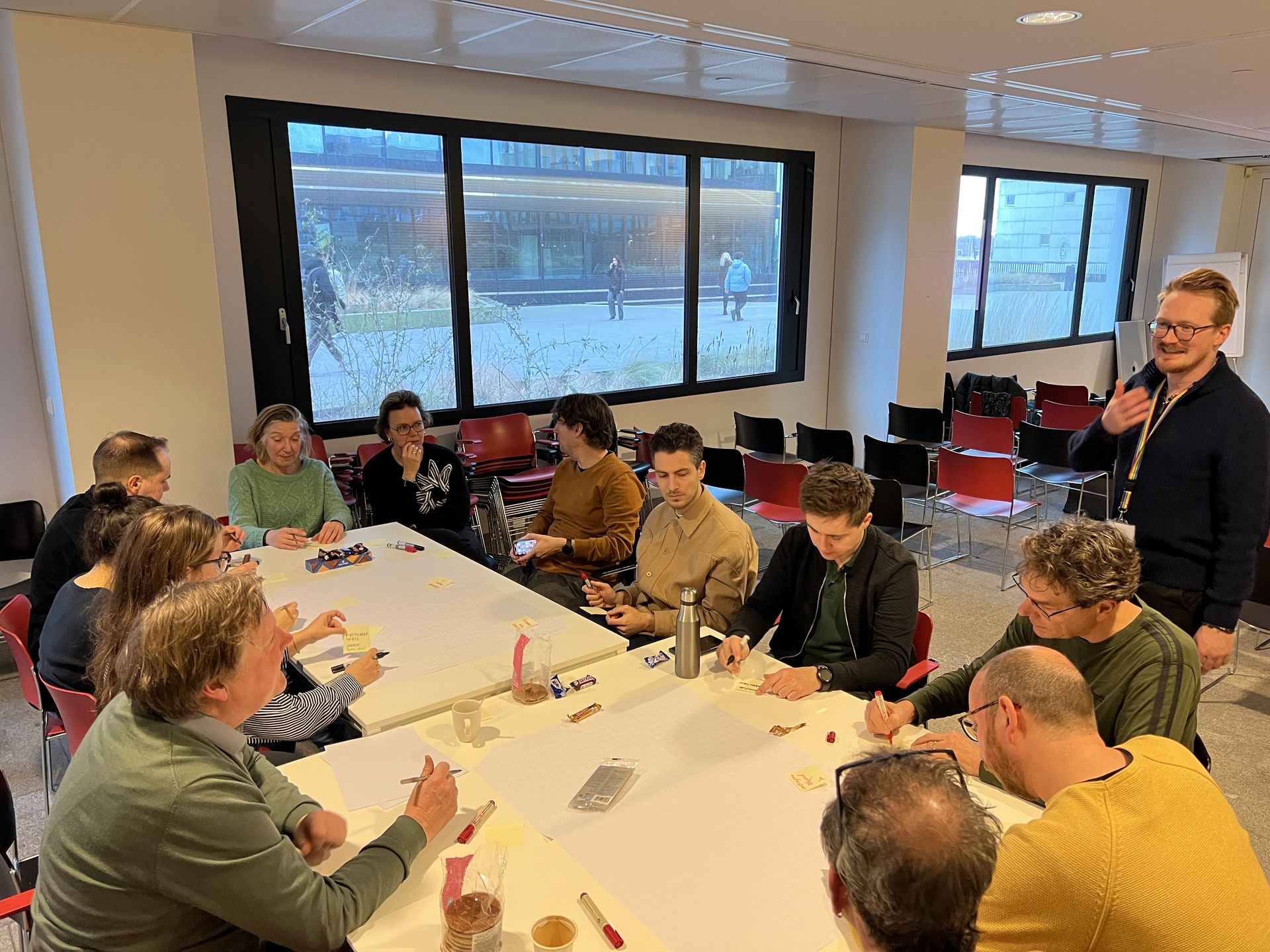 Urban planners and strategists from the City of Amsterdam and the City of Utecht, together with designers from Protofunk, during the co-creation session
Co-creation priorities: what users want
An important part of the session was to gather feedback to shape Netherlands3D’s development. Key features requested include:
Environmental Strategy layer: Incorporating the Environmental Strategy (Omgevingsplan, as part of the Environment and Planning Act, in effect as of 1 January 2025 in the Netherlands) as a base layer to inform city planning.
Real-time design feedback: Enabling real-time simulations of urban planning scenarios, including wind, sun, and sound impacts, energy production and greening opportunities.
Visualization of agreements between municipalities and developers: Easily see what has been agreed on land price, planning and phasing, public law aspects etc. (in Dutch in short the ‘Bouwenvelop’).
Photo-realistic rendering & AR/VR options: Allowing citizens and urban planners to navigate urban designs in first-person view and interactively engage with city plans. For urban planners it would be interesting to be able to remove/replace elements in urban space.
Citizen engagement features: Options to adjust and comment on planned urban infrastructure, such as waste container placements and tree locations. Or the possibility to see where houses are for sale/rent, and what that neighborhood will look like in the near future.
What’s next?
Right now, Netherlands3D is working on two distinct user interfaces: a technical interface for urban planners and developers, and a simplified viewer for residents and citizens, both based on the same data. The challenge here is to determine who should be able to do what.
Furthermore, Netherlands3D’s development will continue with feedback from stakeholders, ensuring that the platform meets the practical needs of urban planners, decision-makers, and citizens. This co-creation session was an important step in bringing technical designers together with real-world users, ensuring that the DT ecosystem serves everyone. The next co-creation session is scheduled for April 16th 2025, where progress on the requested features and further refinements will be discussed.
The outcomes of the meeting will be shared within T4R to support the Framework Governance, Pilot Action Planning, and the development of the training modules.